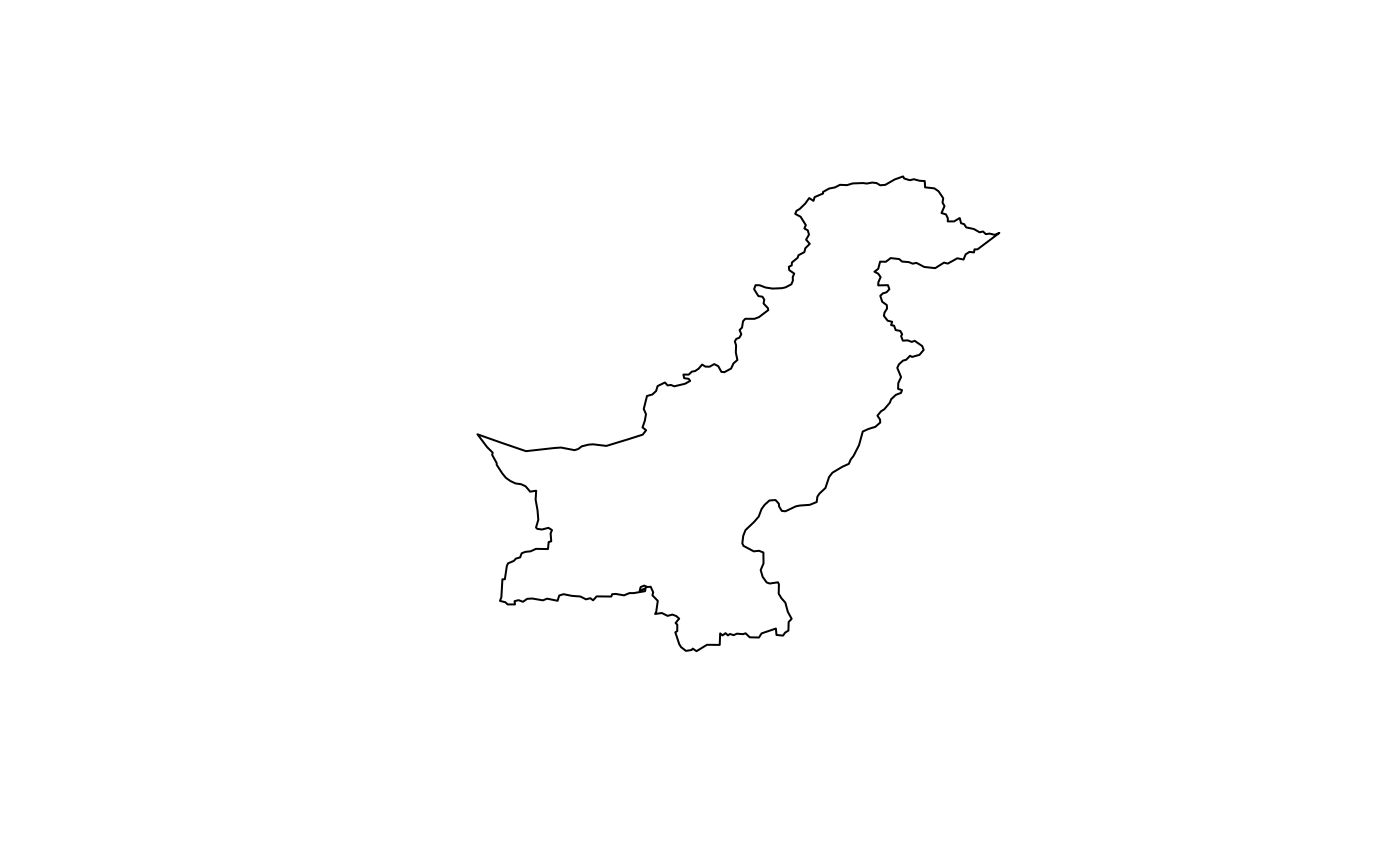
Get national boundary for Pakistan.
Arguments
- crs
Integer EPSG code. Default 4326 (WGS84). Use 32642 for distance and area calculations. See
pk_crs_suggest()for guidance.
Value
Returns an sf object (class "sf" and "data.frame") with:
- country_name
Character. Name of the country ("Pakistan")
- country_code
Character. ISO country code
- area_km2
Numeric. Area in square kilometres
- geometry
MULTIPOLYGON. The national boundary geometry
The output represents the complete national boundary of Pakistan.
Examples
pakistan <- get_country()
plot(sf::st_geometry(pakistan))

print(pakistan$area_km2)
#> [1] 877964.7
print(pakistan$area_km2)
#> [1] 877964.7