Get Pakistan district boundaries
Arguments
- province
Character. Filter to one province by exact name. Matching is case-insensitive. Run
pk_dictionary("provinces")to see valid names. NULL (default) returns all districts.- crs
Integer EPSG code. Default 4326 (WGS84). Use 32642 for distance and area calculations. See
pk_crs_suggest()for guidance.
Value
Returns an sf object (class "sf" and "data.frame") with:
- province_name
Character. Parent province name
- district_name
Character. District name
- district_code
Character. Unique district identifier code (e.g., "PK603")
- area_km2
Numeric. Area in square kilometres for each district
- geometry
MULTIPOLYGON. District boundary geometries
When province is specified, the output contains only districts
within that province. The output represents administrative boundaries
at the district level.
Examples
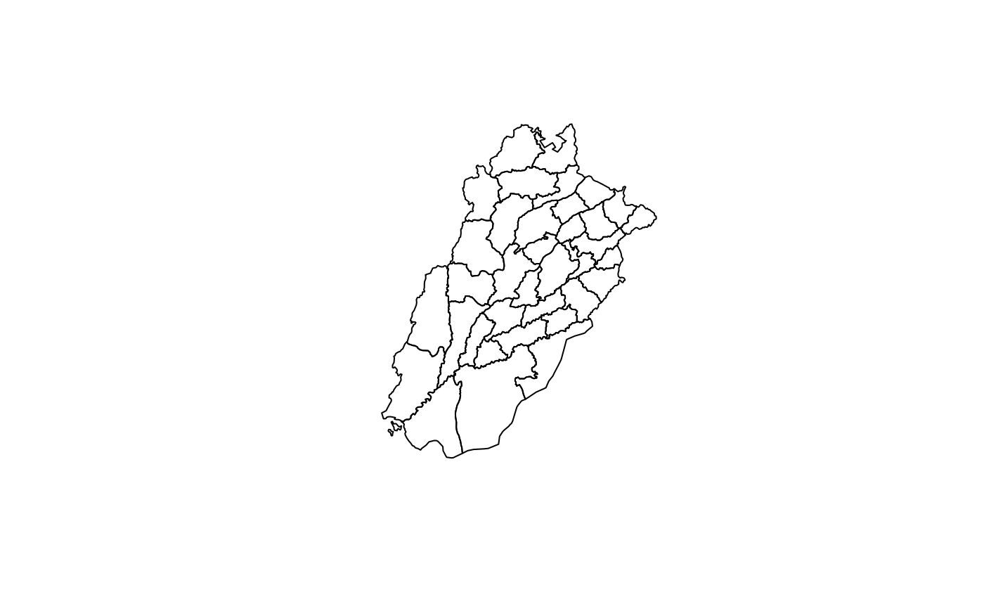
# All districts
all_districts <- get_districts()

# Filter to Punjab province (case-insensitive)
punjab_districts <- get_districts(province = "Punjab")
punjab_districts <- get_districts(province = "punjab")  # Same result

plot(sf::st_geometry(punjab_districts))