Get Pakistan tehsil boundaries
Arguments
- district
Character. Filter to one district by exact name. Matching is case-insensitive. NULL returns all.
- province
Character. Filter to one province by exact name. Matching is case-insensitive. NULL returns all. If both district and province are supplied, district takes precedence.
- crs
Integer EPSG code. Default 4326 (WGS84). Use 32642 for distance and area calculations. See
pk_crs_suggest()for guidance.
Value
Returns an sf object (class "sf" and "data.frame") with:
- province_name
Character. Parent province name
- district_name
Character. Parent district name
- tehsil_name
Character. Tehsil name
- tehsil_code
Character. Unique tehsil identifier code
- area_km2
Numeric. Area in square kilometres for each tehsil
- geometry
MULTIPOLYGON. Tehsil boundary geometries
The output represents the finest available administrative boundaries in pkmapr, suitable for high-resolution spatial analysis, local-level mapping, and joining with tehsil-level census or survey data.
Examples
# All tehsils
all_tehsils <- get_tehsils()
# Filter to Sindh province
sindh_tehsils <- get_tehsils(province = "Sindh")
sindh_tehsils <- get_tehsils(province = "sindh") # Case-insensitive
# Filter to Lahore district
lahore_tehsils <- get_tehsils(district = "Lahore")
lahore_tehsils <- get_tehsils(district = "lahore") # Case-insensitive
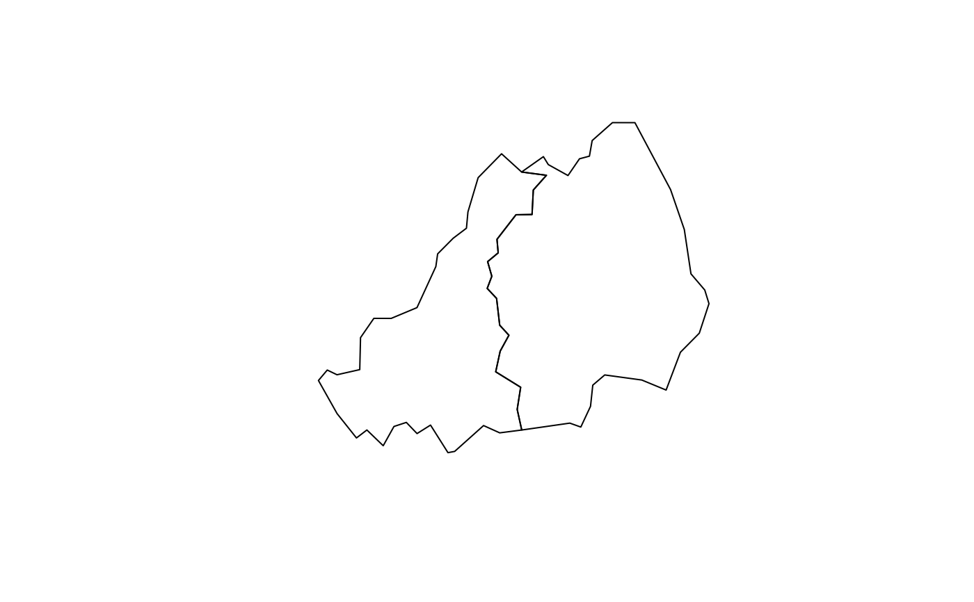
plot(sf::st_geometry(lahore_tehsils))